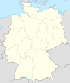
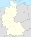
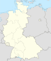
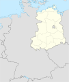
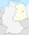
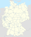
Fail:Germany2 location map.svg
Appearance

Size of this PNG preview of this SVG file: 506 × 600 pixels. Other resolutions: 202 × 240 pixels | 405 × 480 pixels | 648 × 768 pixels | 864 × 1,024 pixels | 1,728 × 2,048 pixels | 1,073 × 1,272 pixels.
Bikpela piksa (SVG file, nominally 1,073 × 1,272 pixels, file size: 638 KB)
Ol senis bilong dispela fail
Click on a date/time to view the file as it appeared at that time.
| De/Taim | Liklik | Ol sais | Yusa | Tingting | |
|---|---|---|---|---|---|
| bilong nau | 20:13, 5 Ogas 2012 |  | 1,073 × 1,272 (638 KB) | NordNordWest | upd |
| 19:13, 22 Mas 2010 |  | 1,073 × 1,272 (635 KB) | NordNordWest | == {{int:filedesc}} == {{Information |Description= {{de|Positionskarte von Deutschland mit Gewässern}} Quadratische Plattkarte, N-S-Streckung 150 %. Geographische Begrenzung der Karte: * N: 55.1° N * S |
Ol fail link
There are no pages that use this file.
Global file usage
The following other wikis use this file:
- Usage on als.wikipedia.org
- Usage on de.wikipedia.org
- Usage on en.wikipedia.org
- Usage on es.wikipedia.org
- Usage on frr.wikipedia.org
- Usage on fr.wikipedia.org
- Usage on gl.wikipedia.org
- Usage on nds-nl.wikipedia.org
- Usage on pfl.wikipedia.org
- Usage on uk.wikipedia.org
- Мюнхен
- Гайдельберг
- Дрезден
- Регенсбург
- Аркона (Яромарсбург)
- Штутгарт
- Ведель
- Гамбург
- Франкфурт-на-Майні
- Пфуллінген
- Кельн
- Томм
- Магдебург
- Любек
- Лейпциг
- Штральзунд
- Буков
- Мансфельд (місто)
- Неда
- Кільський канал
- Брунсбюттель
- Росток
- Дюссельдорф
- Потсдам
- Шмалькальден
- Франкфурт-на-Майні (аеропорт)
- Бранібор
- Бамберг
- Червона ратуша
- Ютерзен
- Театр у Байройті
- Кетен (місто)
- Вітцендорф
- Бранденбурзькі ворота
- Ашерслебен
- Моріцбург (Саксонія)
- Піраміда Карлсруе
View more global usage of this file.


